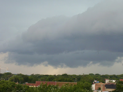
 That was sent in by Corey Raymer in Madison. You can see a pretty well-formed storm there - and we saw a lot of those on Friday night.
Looking ahead... there is some much warmer air on the way - possibly arriving by Friday. We'll be watching that one pretty closely. 90s could make it as far east as Sioux Falls - but it could all change. Right now the computer models are having some issues with this next warm-up, but we're seeing signs of 90s if not by Friday then at least by Saturday. We'll see how it all plays out!
~KDLT Chief Meteorologist Aaron Shaffer

No comments:
Post a Comment
Thoughts from you guys...